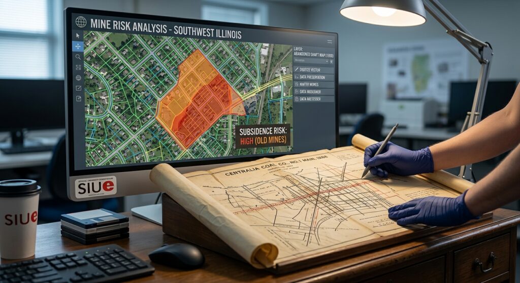
While not unique to Illinois (i.e. Pennsylvania Department of Environmental Protection Guidance , Pennsylvania Media Article (links)), Illinois officials have identified 330,000 properties at risk for mine subsidence. Now researchers at the Geospatial Mapping Applications and Research Center (GeoMARC) at Southern Illinois University Edwardsville have commenced on a new project of digitizing decades-old underground mine maps to better understand where abandoned mine workings are located beneath Illinois communities.
The project could help identify potential risks, including ground instability, while giving communities better data for planning, development and mitigation efforts.
To view the article, please click here